Construction
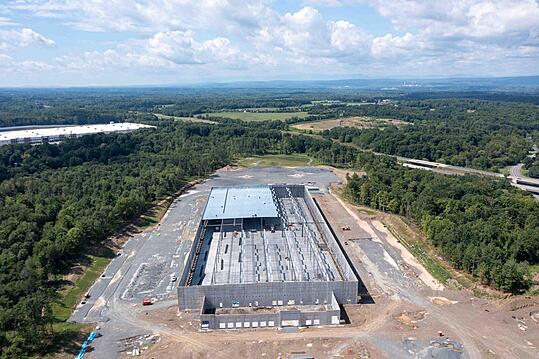
Construction projects are an ongoing evolution of data, timelines, and communication. Aerial photos and videos provide a distinct and repeatable project view.
Sky Photos can offer elevated imagery to track your project at every stage, safely and quickly!
Why choose Sky Photos for your Site Photos and Videos?
Sky Photos can provide aerial photo and video data as well as ground and 360 degree site tours to wow your investors, document your success, and keep your project on track.
Emphasize your professional image with professional photos and videos
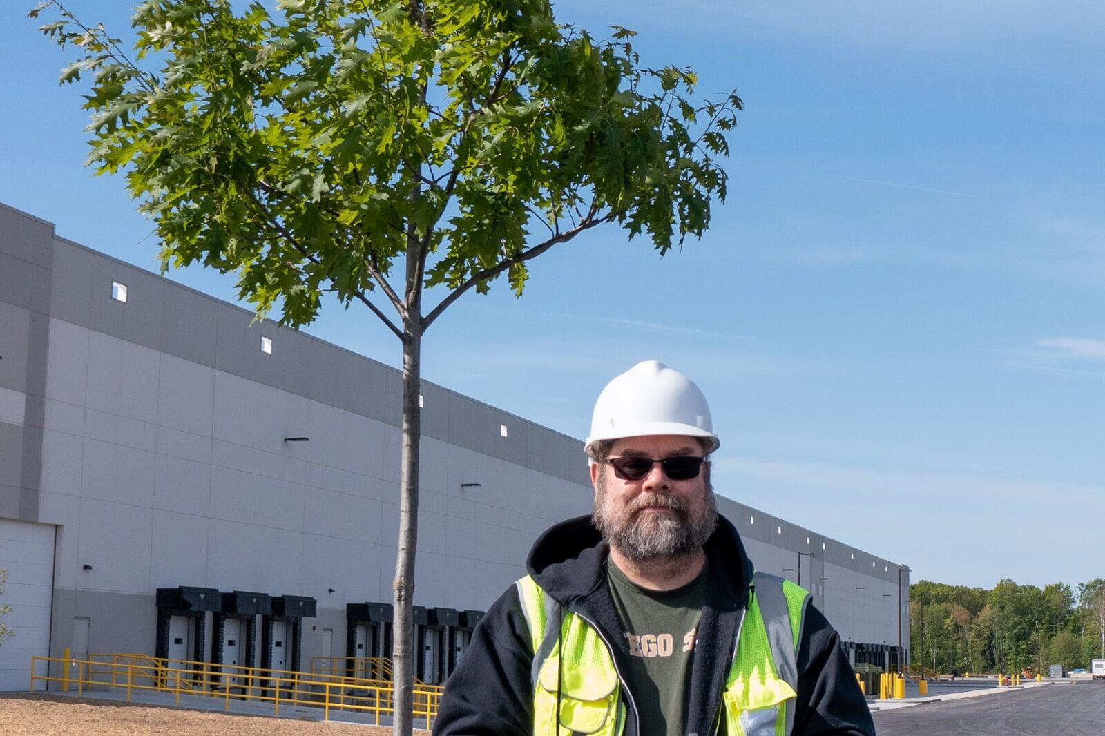
Safety and peace of mind
At Sky Photos, safety is more than a priority—it’s built into every flight we conduct. As an FAA Part 107 certified operator with full liability insurance, we follow rigorous procedures to ensure that every mission is performed with caution, compliance, and communication.
We operate with an understanding of construction site protocols, including coordination with site managers and safety officers to minimize disruption and risk. Flights are planned with risk assessments, airspace checks, and weather monitoring. Our drones are equipped with fail-safes for communication loss, flown only when conditions are safe and appropriate.
We arrive with Personal Protective Equipment and are OSHA-10 certified too.
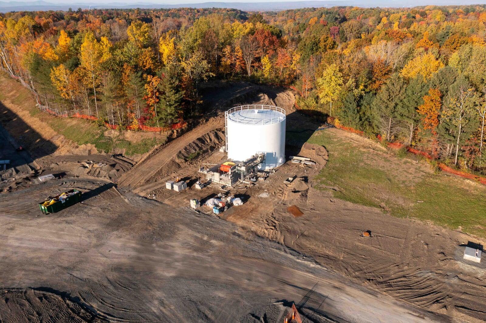
Repeatable data streams for your entire project team
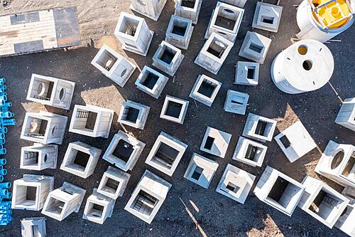
Marketing & Stakeholder Reports
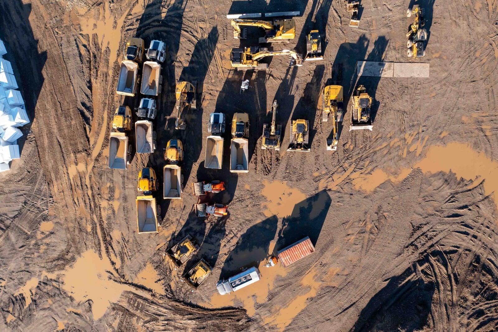
Heavy Equipment & Logistics Management
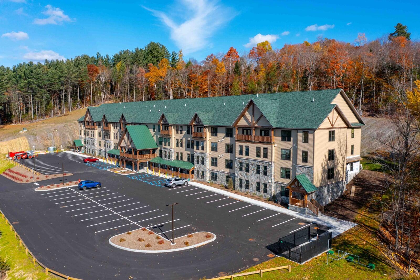
Comprehensive Construction Site Monitoring
Sky Photos delivers drone-based imaging services tailored for construction sites of all sizes. We provide consistent, high-resolution aerial photography and video to document your site's progress, monitor material staging, and assist with inspections.
Sky Photos captures your project from eye level to sky level. We can fly at set intervals or project milestones to document every step of your build, or send us out for a one time visit to capture a milestone or finished product. You receive a full package of deliverables that can include still photos, progress videos, and even terrain models, thermal imagery, or time-lapse footage.
These visuals help you keep clients informed, resolve disputes, monitor subcontractor performance, and provide verifiable documentation for permitting and insurance purposes. Whether it’s a highway expansion, a solar farm, or a mid-rise office building, we provide aerial data that keeps your team on track and your project on schedule.
Real Data, Real Results, Really amazing
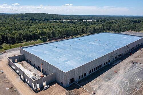
Added Value
Sky Photos High-resolution aerial images, videos, and 3D maps enable real-time progress tracking, safety inspections, and data for decision-making.access hard-to-reach areas safely enhances project oversight and planning.
Safety is your job site priority
Sky Photos documents conditions as they exist so there is no guessing about the situation on the ground. We can work on site safely during active operations (and following FAA regulations) as well as before/after/lunch shots to capture the site without activity. Aerial images keep your crew out of dangerous climbing situations too.
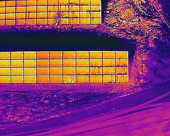
Cost Savings
Operating your business in a vacuum leads to costly errors and issues. Use aerial photos and videos to provide valuable decision making data about your current status and where things may be headed. Thermal images can tell a detailed story about how electricity or water are interacting on your site, and of course just documenting that what you had delivered is what you ordered offers value too.
Time savings
Project managers have a full time, high demand job. Craig, the owner of Sky Photos, has been in that exact role too. The single biggest thing was understanding the deliverable, the timeline, and the costs involved. We can help document what was delivered, what is ongoing, and what is left to do at a site, and give you visual data you can share with your management to answer their questions too.
Added Value
Sky Photos High-resolution aerial images, videos, and 3D maps enable real-time progress tracking, safety inspections, and data for decision-making.access hard-to-reach areas safely enhances project oversight and planning. This means that the professional from California can get exactly the data they need without getting on a plane. It means that your next milestone is documented, and it means that any issues are seen quickly.

Celebrate your business!
Your business needs success and it needs to SHOW success. Sky Photos can provide media to help document and show off your success. This could be anything from capturing an event your are hosting to providing the final proof your museum ship was delivered successfully. Video and photos are in demand for social media. Elevate your image with Sky Photos.